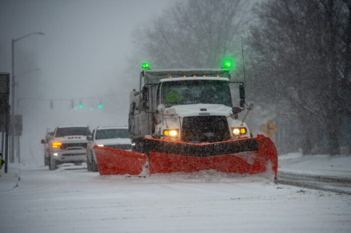
A powerful Nor’easter winter storm is predicted to dump a significant amount of snow across Connecticut on Sunday and Monday, as the state braces for yet another major storm, amid a winter that has seen historic snowfall and freezing temperatures.
A Winter Storm Watch has been issued from Sunday morning through Tuesday morning for Hartford, Litchfield, Tolland, and Windham Counties, according to meteorologists with AccuWeather.
The coastal storm is predicted to impact the state with heavy snow and wind gusts, creating near whiteout conditions on Sunday and Monday, according to the weather agency.
Total snow accumulations between 8 and 13 inches are excepted across most of the state. Winds gusts could reach as high as 50 mph on Sunday evening potentially downing trees and wires, according to AccuWeather.
Northern Connecticut will see less of an impact than communities along the immediate shoreline, according to current weather models. Fairfield, New Haven, and Middlesex Counties are under a blizzard warning with 13-18 inches predicted along the shoreline. On Sunday evening and into Monday, wind chills will be between 15 and 20 degrees along the shoreline, the weather service said.
The snow is expected to be more wet and heavy this time than light and fluffy, according to AccuWeather.
Travel could be very difficult to near impossible during the height of the storm, meteorologists said. The hazardous conditions could impact the Monday morning and evening commutes as experts warn to remain cautious when driving.
Across the state, towns were putting parking and other restriction in place, so be sure to check before you park.
“We invite everyone in our community—residents and visitors alike—to pitch in with snow
removal efforts from Sunday evening through Monday by following the parking guidelines…,” the city of New London staff said, for example. “Your cooperation helps our snowplows and emergency vehicles keep streets clear and respond to emergencies, especially during the heaviest traffic and on the city’s compact, dense streets. When these rules are ignored, cleanup becomes more difficult, and the whole community feels the impact. By respecting these parking restrictions, you help us all return to normal life more quickly after the storm.”
Temperatures on Sunday and Monday will be at or around freezing in the Hartford area, but expected to warm up later in the week. According to the AccuWeather forecast, Thursday through next Sunday will see temperatures in the mid to upper 40s in the Hartford region, potentially melting the snow more quickly.
Widespread moderate coastal flooding also is “possible during Sunday night and Monday morning high tides. Inundation of 1.5 to 2.5 feet above ground level may occur in vulnerable low-lying areas,” according to the Westport Fire Department.
This weekend’s storm is expected to come after one of the largest snowfall events in more than a decade in Connecticut. Winter Storm Benjamin, which dumped 17.3″ in the Hartford area on Jan. 25, smashed previous records and beat out the 16.2″ that fell between February 18-19 in 2017, according to AccuWeather.
The last major snowstorm comparable to Winter Storm Benjamin was Winter Storm Nemo in February 2013 that dumped more than 30 inches of snow in the Hartford area.
Stephen Underwood can be reached at [email protected]
